
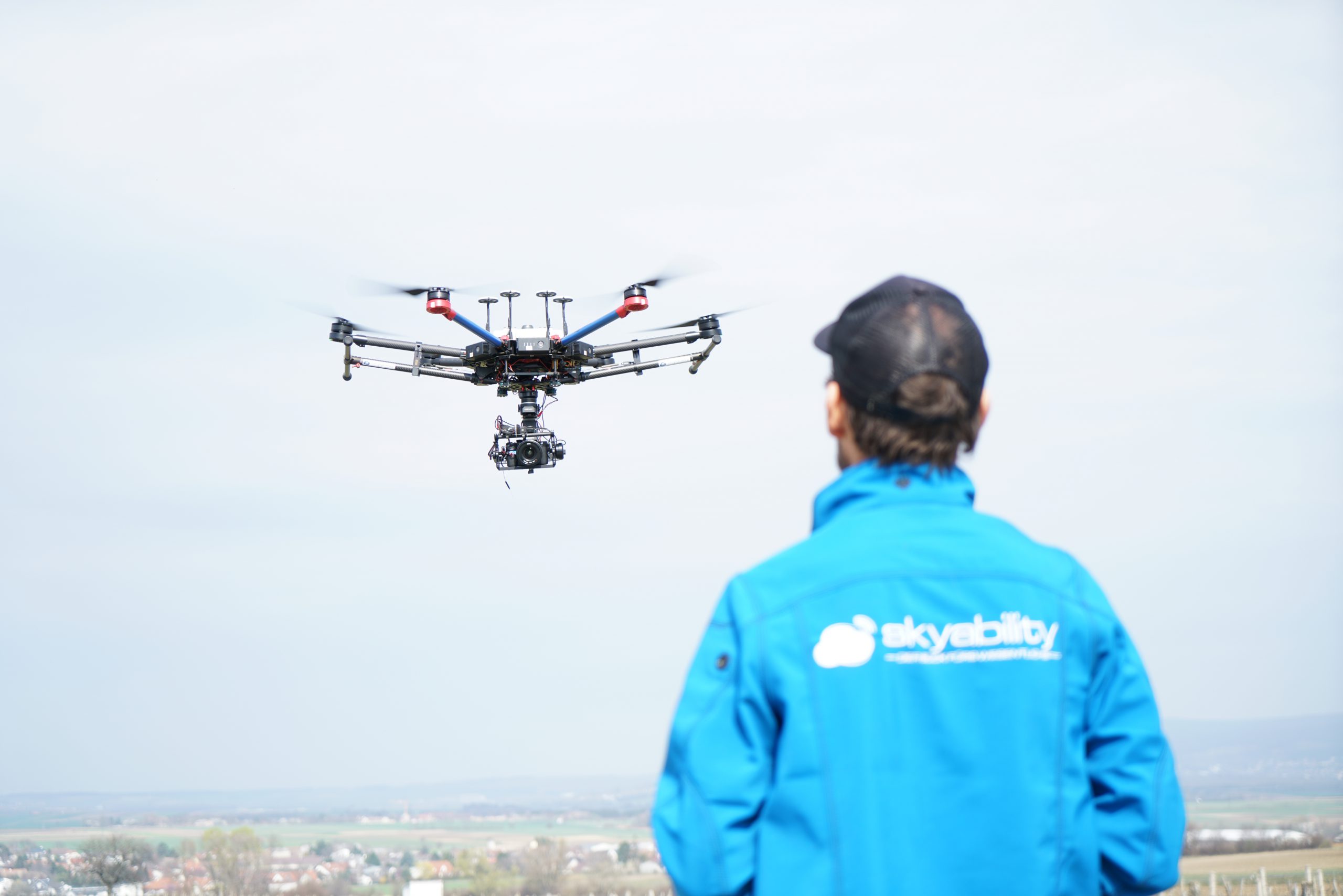
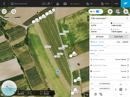
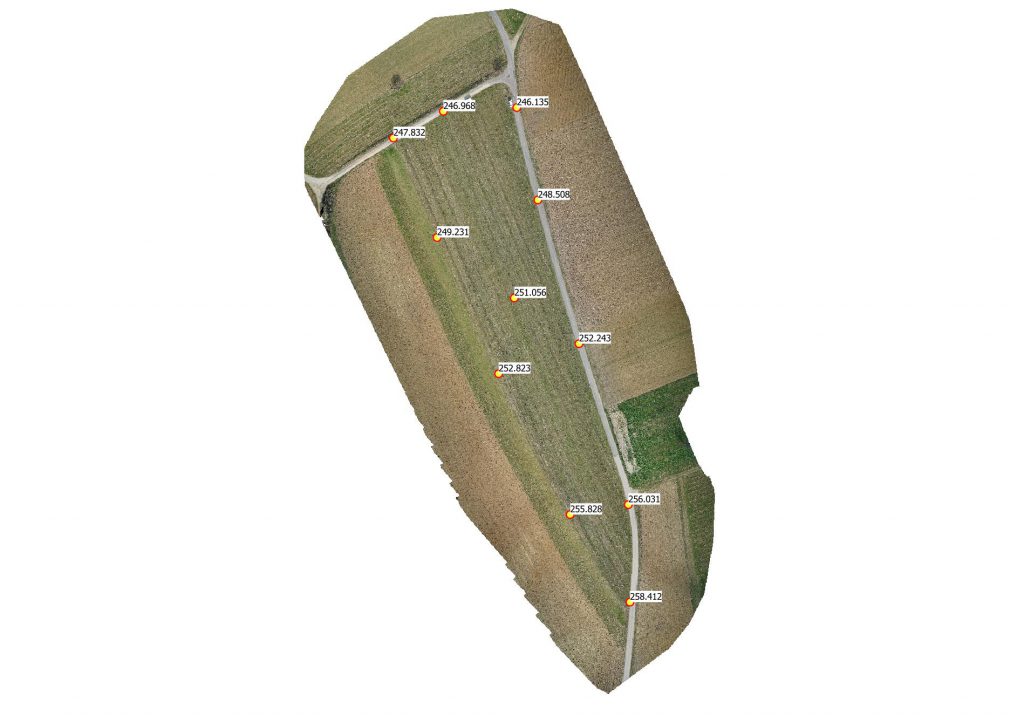
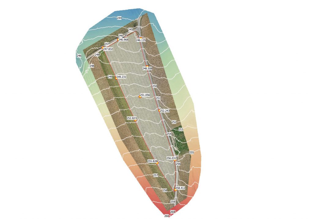
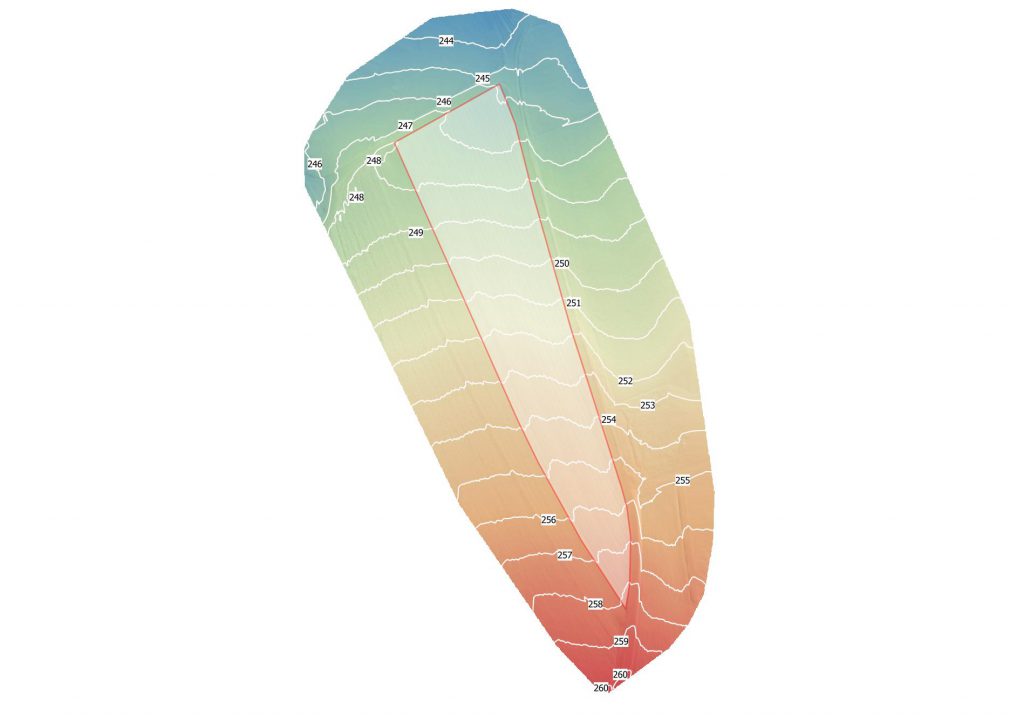
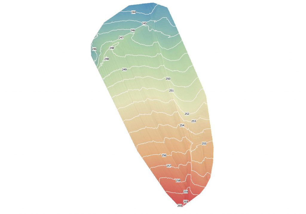
A Droneflight to gather a DEM (Digital Elevation Model) of the Test facility in Zemendorf was performed. The Data was processed afterwards to obtain detailed elevation information to plan the location of stationary sensors precisely. Furthermore the elevation data will be used to adopt the flight plan of the drone to get a constant Ground Sampling Distance (GSD) for further actions like Multispectral Data collection.
This website uses cookies so that we can provide you with the best user experience possible. Cookie information is stored in your browser and performs functions such as recognising you when you return to our website and helping our team to understand which sections of the website you find most interesting and useful.